

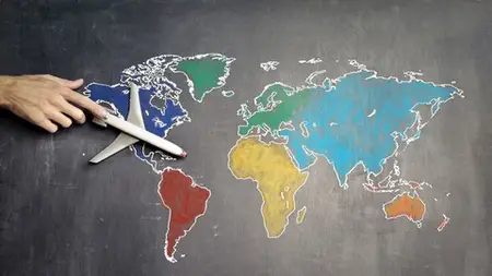
Spatial Analysis & Geospatial Data Science in Python
Spatial Analysis & Geospatial Data Science in Python
MP4 | Video: AVC 1280x720 | Audio: AAC 44KHz 2ch | 4 hours 43 minutes | 46 lectures | 3.08 GB
Genre: eLearning | Language: English
MP4 | Video: AVC 1280x720 | Audio: AAC 44KHz 2ch | 4 hours 43 minutes | 46 lectures | 3.08 GB
Genre: eLearning | Language: English
Learn how to process and visualize geospatial data and perform spatial analysis using Python.
This is the first course that gives hands-on Spatial Data Science / Spatial Analysis Projects using Python..
Student Testimonials:
Excellent course. The narration and presentation of the course are beautiful and simple. The contents contain very clear and interesting explanations. I love this course. Spatial Data Science course in python is entertaining, it contains very clear explanations, every minute you learn something new, it is really exciting. Thank you very much for this wonderful course -
Leonardo Guevara
Great course about Spatial analysis using Python! Simple to understand and packed with practical knowledge and real-world examples. Thanks Shan Singh for creating this course! -
Gabriel Borja
I was longing to get a kick start on geospatial analysis. This has given me a very clear explanation which I will put into practise -
Geoffrey Mogonchi
Geospatial data science
is a subset of data science that focuses on
spatial data
and its unique techniques. In this, we are going to perform
spatial analysis
and trying to find
insights
from spatial data. In this course, we lay the foundation for a career in Geospatial Data Science. You will get hands-on
Geopy, Plotly , Folium
etc.. the workhorse of Geospatial data science
Python libraries.
The topics covered in this course widely touch on some of the most used spatial technique in Geospatial data science. We will be learning how to
read spatial data
,
manipulate and process spatial data
using
Pandas
and how to
perform
spatial operations..
A large portion of the course deals with spatial Visuals like
Choropleth, Geographical Scatter plot, Geographical Heatmap, Markers, Geographical HeatMap.
. Each video contains a summary of the topic and a walkthrough with code examples in layman terms that will help you learn more effectively.
Who this course is for:
Students who want to become Data Scientist by show-case these Projects on his/her Resume
Students who like to take their first steps in the Geospatial data science career
Python users who are interested in Spatial Data Science
GIS users who are new to python and Jupyter
notebooks for Geographic data analysis