


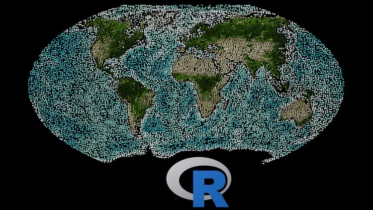
Introduction to GIS and Remote Sensing with R
Introduction to GIS and Remote Sensing with R
Duration: 45m | .MP4 1280x720, 30 fps(r) | AAC, 44100 Hz, 2ch | 273 MB
Genre: eLearning | Language: English
Duration: 45m | .MP4 1280x720, 30 fps(r) | AAC, 44100 Hz, 2ch | 273 MB
Genre: eLearning | Language: English
Manage large amounts of geospatial data with R applied to remote sensing and GIS.
What you'll learn:
Spatial analysis
Vector processing
Raster processing
Some tidyverse functions
Description:
Hello! I invite you to enroll in my course on GIS and remote sensing using R software, which you will be able to combine seamlessly with QGIS, ARCGIS, Google Earth Engine, among others.
Give a twist to your professional career with a new skill that will put you a step above the rest, because programming applied to GIS and remote sensing is here to stay!
R is a program widely used around the world and makes it easy to analyze satellite data. Forget about spending hours processing an image or vector file. Increase your productivity and don't fill your computer with unnecessary memory.
Forget about having to perform the same procedure over and over again in a slow and tiring way. Create your own programming codes, giving them your special touch, because programming is an art and merged with GIS and remote sensing creates a masterpiece.
Welcome to the world of reproducible research, where through programming codes you will be able to replicate specific tasks and functions as many times as you want and in an easy way.
Be part of the worldwide R community, where everyone helps each other in order to learn as much as possible.
What are you waiting for! It's up to you to join the world of Big Data in remote sensing!
Sign up for the course and I promise you won't regret it!
See you in class!
Andrés.
Who this course is for:
Anyone interested in learning how to use R for GIS and remote sensing studies.
More Info