

Geospatial Raster Data Analytics in Python

Geospatial Raster Data Analytics in Python
Released: 1/8/2025
Duration: 2h 38m | .MP4 1280x720, 30 fps(r) | AAC, 48000 Hz, 2ch | 256 MB
Genre: eLearning | Language: English
Released: 1/8/2025
Duration: 2h 38m | .MP4 1280x720, 30 fps(r) | AAC, 48000 Hz, 2ch | 256 MB
Genre: eLearning | Language: English
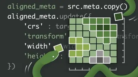
Looking for a comprehensive overview of raster data analytics in Python? An ideal fit for data scientists and geospatial practitioners, this course is designed to help you get started using vector data and various tools in Python, such as GeoPandas and Shapely. Instructor Milan Janosov covers the basics, from creating synthetic raster data to collecting, visualizing, and modifying existing real-world raster data. Along the way, get hands-on practical experience exploring raster data both statistically and visually. By the end of this course, you’ll be equipped with in-demand skills for resampling and reprojecting raster data, combining single-band raster data into multiband raster data, conducting advanced analytics on multiband raster data, and more.
More Info