

Coursera - From GPS and Google Maps to Spatial Computing, University of Minnesota
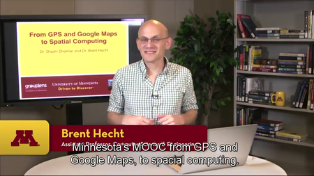
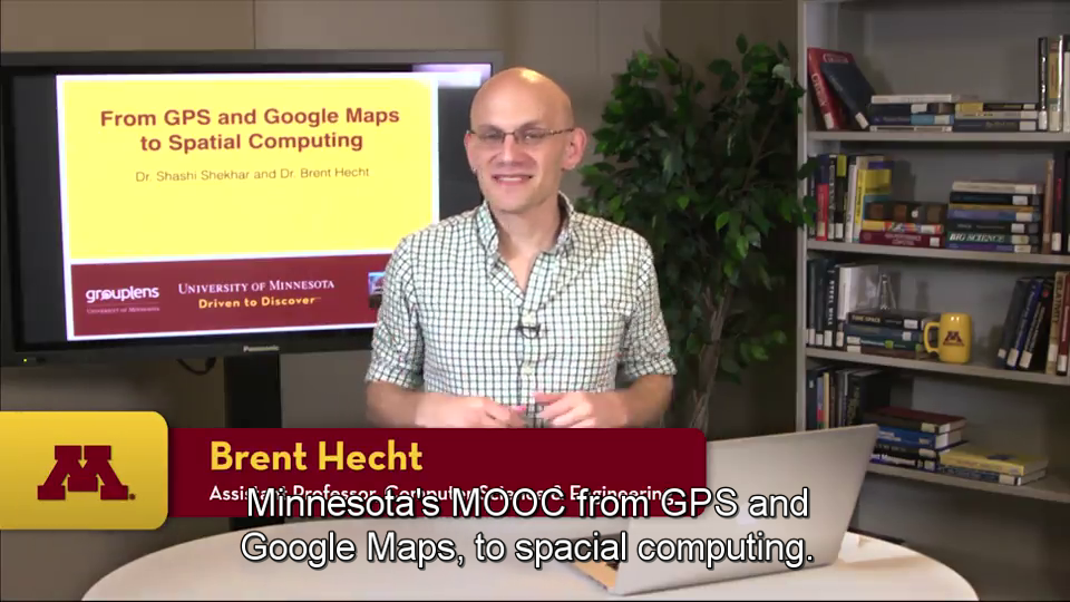
Coursera - From GPS and Google Maps to Spatial Computing
WEBRip | English | MP4 + work files | 960 x 540 | AVC ~151 kbps | 29.970 fps
AAC | 128 Kbps | 44.1 KHz | 2 channels | Subs: English | ~13 hours | 1.52 GB
Genre: eLearning Video / Science, Technology
WEBRip | English | MP4 + work files | 960 x 540 | AVC ~151 kbps | 29.970 fps
AAC | 128 Kbps | 44.1 KHz | 2 channels | Subs: English | ~13 hours | 1.52 GB
Genre: eLearning Video / Science, Technology
From Google Maps to consumer global positioning system (GPS) devices, spatial technology shapes many lives in both ordinary and extraordinary ways. Thanks to spatial computing, a hiker in Yellowstone and a taxi driver in Manhattan can know precisely where they are, discover nearby points of interest and learn how to reach their destinations. Spatial computing technology is what powers the Foursquare check-in, the maps app on your smartphone, the devices used by scientists to track endangered species, the routing directions that help you get from point A to point B, the precision agriculture technology that is revolutionizing farming, and the augmented reality devices like Google Glass that may soon mediate our interaction with the real world.This course introduces the fundamental ideas underlying spatial computing services, systems, and sciences. Topics covered will include the nature of geospatial information, proper statistical frameworks for working with geospatial data, key algorithms and data structures, spatial data mining, and cartography/geovisualization. We will also address applied topics such as where to find spatial data, how to use powerful open source software to analyze and map spatial data, and frameworks for building location-based services.
Course Syllabus
Module 1 - Introduction
Course Introduction
Defining Spatial Computing
Course Structure
Interviews with Johannes Schöning, Loren Terveen and Martin Raubal
Module 2 - Spatial Query Languages
What is a Query? Query Language?
An example database with 3 tables
SQL overview
SELECT statement with 1 table
Multi-table SELECT statement
Why spatial extensions are needed
1-table spatial queries
Trends
Module 3 - Spatial Networks
Motivation, Societal use cases
Example spatial networks
Conceptual and mathematical models
Need for SQL extensions
CONNECT statement
RECURSIVE statement
Storage and data structures
Algorithms for connectivity query
Algorithms for shortest path
Interviews with Dev Oliver and Betsy George
Module 4 - Spatial Data Mining
Motivation, Spatial Pattern Families
Spatial data types and relationships
Limitations of Traditional Statistics
Location Prediction model
Hotspots
Spatial outliers
Colocations and Co-occurrences
Summary: What is special about mining spatial data?
Module 5 - Volunteered Geographic Information (VGI)
Introduction to Volunteered Geographic Information
Producing VGI
Pros and Cons of VGI
Interview with Michael Goodchild
Module 6 - Positioning
Introduction to Positioning
Overview of GPS
Overview of Wifi and Cellular Positioning
Introduction to Content-based Positioning
Geoparsing
Location-field Positioning
Module 7 - Cartography
Introduction to Cartography
Overview of Maps and Mapping
Reference Maps
Thematic Maps
Spatialization
Module 8 - Future Directions
Introduction
Spatial Databases: Representative projects
Data Mining: Representative projects
Advances in Cartography
Advances in Positioning
Interviews with Vipin Kumar, Wan Bae, Mohammed Mokbel and Len Kne
also You can watch my other last: Coursera-posts
General
Complete name : 07_Interview_with_Wan_Bae_12-21.mp4
Format : MPEG-4
Format profile : Base Media
Codec ID : isom
File size : 25.4 MiB
Duration : 12mn 21s
Overall bit rate : 288 Kbps
Writing application : Lavf55.19.104
Video
ID : 1
Format : AVC
Format/Info : Advanced Video Codec
Format profile : Main@L3.1
Format settings, CABAC : Yes
Format settings, ReFrames : 4 frames
Codec ID : avc1
Codec ID/Info : Advanced Video Coding
Duration : 12mn 21s
Bit rate : 151 Kbps
Width : 960 pixels
Height : 540 pixels
Display aspect ratio : 16:9
Frame rate mode : Constant
Frame rate : 29.970 fps
Color space : YUV
Chroma subsampling : 4:2:0
Bit depth : 8 bits
Scan type : Progressive
Bits/(Pixel*Frame) : 0.010
Stream size : 13.3 MiB (52%)
Writing library : x264 core 138
Encoding settings : cabac=1 / ref=3 / deblock=1:0:0 / analyse=0x1:0x111 / me=hex / subme=7 / psy=1 / psy_rd=1.00:0.00 / mixed_ref=1 / me_range=16 / chroma_me=1 / trellis=1 / 8x8dct=0 / cqm=0 / deadzone=21,11 / fast_pskip=1 / chroma_qp_offset=-2 / threads=12 / lookahead_threads=2 / sliced_threads=0 / nr=0 / decimate=1 / interlaced=0 / bluray_compat=0 / constrained_intra=0 / bframes=3 / b_pyramid=2 / b_adapt=1 / b_bias=0 / direct=1 / weightb=1 / open_gop=0 / weightp=2 / keyint=250 / keyint_min=25 / scenecut=40 / intra_refresh=0 / rc_lookahead=40 / rc=crf / mbtree=1 / crf=28.0 / qcomp=0.60 / qpmin=0 / qpmax=69 / qpstep=4 / ip_ratio=1.40 / aq=1:1.00
Language : English
Audio
ID : 2
Format : AAC
Format/Info : Advanced Audio Codec
Format profile : LC
Codec ID : 40
Duration : 12mn 21s
Duration_LastFrame : -17ms
Bit rate mode : Constant
Bit rate : 128 Kbps
Channel(s) : 2 channels
Channel positions : Front: L R
Sampling rate : 44.1 KHz
Compression mode : Lossy
Delay relative to video : -800ms
Stream size : 11.3 MiB (45%)
Language : English
Screenshots
Coursera - From GPS and Google Maps to Spatial Computing, University of Minnesota
Coursera - From GPS and Google Maps to Spatial Computing, University of Minnesota

Coursera - From GPS and Google Maps to Spatial Computing, University of Minnesota

Coursera - From GPS and Google Maps to Spatial Computing, University of Minnesota


Coursera - From GPS and Google Maps to Spatial Computing, University of Minnesota

Coursera - From GPS and Google Maps to Spatial Computing, University of Minnesota

Exclusive eLearning Videos ParRus-blog ← add to bookmarks

Coursera - From GPS and Google Maps to Spatial Computing, University of Minnesota
