

Basic Introduction to Qgis - -Raster Analysis

Basic Introduction to Qgis - -Raster Analysis
Published 9/2025
Duration: 2h 56m | .MP4 1280x720 30 fps(r) | AAC, 44100 Hz, 2ch | 2.14 GB
Genre: eLearning | Language: English
Published 9/2025
Duration: 2h 56m | .MP4 1280x720 30 fps(r) | AAC, 44100 Hz, 2ch | 2.14 GB
Genre: eLearning | Language: English
Using Raster Data to Extract Geospatial Information in QGIS
What you'll learn
- Introduction to Raster Data Analysis
- Using Raster for Geomorphological Analysis and Hydrological Analysis
- Using Raster Data for Landslide Analysis Prediction
- Flood Plain Analysis in Qgis
Requirements
- Computer Use
- Excel
- Cartography Projection Knolodge
Description
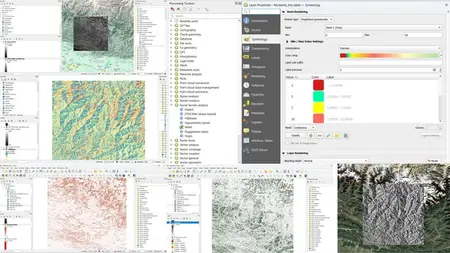
The course“Using Raster Data to Extract Geospatial Information in QGIS”is designed for students, researchers, and professionals who want to develop practical skills in analyzing and interpreting raster datasets using the open-source QGIS platform. Raster data, such as satellite imagery, digital elevation models (DEMs), and environmental grids, provide powerful insights into landscapes, natural resources, and spatial patterns. This course introduces the fundamental concepts of raster data structure, resolution, and coordinate systems, while guiding learners through essential techniques for visualization, analysis, and information extraction.Participants will learn how to import and manage raster layers in QGIS, perform common processing tasks, and apply spatial analysis tools for classification, terrain modeling, and environmental assessment. Real-world examples will demonstrate how to derive valuable geospatial information such as land cover maps, slope and aspect analysis, vegetation indices, and change detection. By integrating raster data with vector datasets, learners will gain a deeper understanding of spatial relationships and enhance their ability to support decision-making in fields like environmental monitoring, urban planning, geology, agriculture, and disaster management. By the end of the course, participants will have the confidence to apply QGIS raster workflows to their own projects, ensuring efficient and meaningful geospatial analysis, you will learn the basic tequinique for do this procedure.
Who this course is for:
- Geologist
- Engennering
More Info