


Create Your Basic Thesis Maps/Arcgis/Step By Step
Create Your Basic Thesis Maps/Arcgis/Step By Step
Published 8/2023
MP4 | Video: h264, 1280x720 | Audio: AAC, 44.1 KHz
Language: English | Size: 2.40 GB | Duration: 4h 24m
Published 8/2023
MP4 | Video: h264, 1280x720 | Audio: AAC, 44.1 KHz
Language: English | Size: 2.40 GB | Duration: 4h 24m
How to create popular basic maps/ArcGIS
What you'll learn
How to create main thesis maps for any of the study area
How to create analysis maps
How to print maps
How to prepare free datas for maps
Requirements
Have a Computer
ArcGIS Desktop 10.0 or higher
Basic Knowledge of ArcGIS Interface
Description
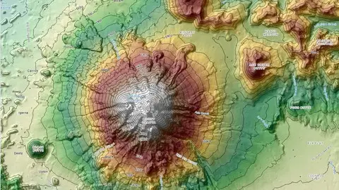
Hello dear friends,Welcome to the my ArcGIS Map Education Course.In 3 Hours you will Learn how to create Basic Thesis maps in ArcGIS and will be able to carry out different types of jobs based on ArcGIS.This course is divided into 3 sections. In these 3 Different sections which are related, you will learn to carry out different topics of thesis maps using ArcGIS. You will Learn to make Maps, You will Learn to do spatial analysis.There are 16 main types of thesis maps. Our study boundary area will be Kathmandu.Its located in India. But im showing you for any of the study. You can be able to create your maps depending your study area.The 3 sections and the contents of the sections are as follows:1.Section:How to download free datas (Open Source GIS Datas)1. How to download Open Street Map Datas (OSM Data)2. How to download country boundary datas (Shapefile)3. How to download SRTM data and how to prepare it for maps2.Physical Maps/How to do/How to print1.Elevation Map2.Hillshade Map3.Aspect Map4.Slope Map as degree5.Slope Map as percentage6.Curvature Analysis Map7.Contour Map8.Topographical Map9.Hydrology Analysis Map/Watershed Analysis3.Special Purpose Maps1. How to download Landuse and Landcover datas/Esri2. How to create LULC Map3. How to download Precipication Datas4. How to create rainfall map5. How to download Soil Datas6. Lets create Soil map /Any of the study area7. How to download Geological Datas8. How to create Geology Map9. How to download Landsat 8 Multispectral Image10. How to create NDVI Analysis Map/Lets find healty vegetation areas
Overview
Section 1: İntroduction
Lecture 1 Presentation
Section 2: Main Basic Thesis Maps/Step1/How to download free datas/How to arrange datas
Lecture 2 How to download Open Street Map Datas (Free Datas)
Lecture 3 How to download country boundary data/Study area/How to prepare it
Lecture 4 How to download SRTM Data (Elevation data) and how to prepare it
Section 3: Main Basic Thesis Maps/Physical Maps
Lecture 5 Elevation Map/How to print it
Lecture 6 Shaded Relief Map/Hillshade Map
Lecture 7 Aspect Map
Lecture 8 Slope Map/As Degree
Lecture 9 Slope Map/As Percentage
Lecture 10 Curvature Analysis Map
Lecture 11 Contour Maps
Lecture 12 Topographical Map
Lecture 13 Hydrology Analysis Map/Watershed Analysis
Section 4: Special Purposes Maps
Lecture 14 How to download LULC data
Lecture 15 How to create Landuse and Landcover Map
Lecture 16 How to download Climatic Data
Lecture 17 How to create Precipication Map
Lecture 18 How to download Soil Datas
Lecture 19 Lets create Soil map /Any of the study area
Lecture 20 How to download Geological Datas
Lecture 21 How to create Geology Map
Lecture 22 How to download Landsat 8 Multispectral Image
Lecture 23 How to create NDVI Analysis Map/Lets find healty vegetation areas
Geographers,Engineers who wanna create maps by using ArcGIS,Anyone who wants to improve ArcGIS Skills,Cartographers