

Google Earth - From Beginner To Advanced Uses

Google Earth - From Beginner To Advanced Uses
Last updated 7/2020
MP4 | Video: h264, 1280x720 | Audio: AAC, 44.1 KHz
Language: English | Size: 1.28 GB | Duration: 1h 20m
Last updated 7/2020
MP4 | Video: h264, 1280x720 | Audio: AAC, 44.1 KHz
Language: English | Size: 1.28 GB | Duration: 1h 20m
Get the most out of Google Earth with geography, engineering and cadastre applications
What you'll learn
Using the Google Earth tool from basic aspects
Take guided tours
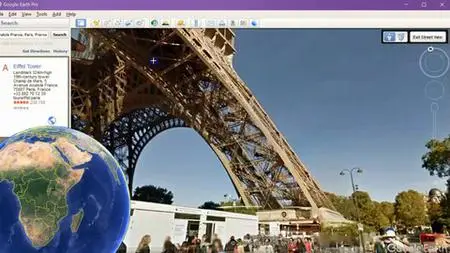
Browse in 3 Dimensions
Georeferencing an image in Google Earth
Download georeferenced images
Import to Google Earth CAD, GIS, Excel data
Prepare data in ArcGIS and AutoCAD for use in Google Earth
Requirements
The course is from scratch
Description
Google Earth is software that came to revolutionize the way we see the world. The experience of circling a sphere when but with a scope of approach to any part of the world, as if we were there.This is a unique course, from the basics of sailing to the construction of three-dimensional guided tours. In this, a professional from the social sciences, journalism or a teacher will open their minds to take full advantage of this tool to make better expositions. You can also find new ideas for exercises and projects with your students with applications for engineering, geography, geographic information systems or cadastre.#AulaGEOAdditionally, the course has an advanced level explaining different interactions of Google Earth with the cadastre areas, geographic information systems and engineering. This includes things like:Import coordinates from Excel,Import satellite images,Georeferencing images,Download images from Google Earth,Send ArcGIS and AutoCAD software data to Google Earth,Georeference data,Construction of routes and guided tours,Import cadastral data and add elevation.The course includes both the data used in the explanations (images, CAD files, GIS files, Excel files, KML files), as well as the software used for the georeferenced image download exercises and also for data conversion.
Overview
Section 1: Using Google Earth to navigate
Lecture 1 User interface
Lecture 2 Markers and polygons
Section 2: Trabajar con datos externos de Google Earth
Lecture 3 Import data into Google Earth
Lecture 4 Using routes in Google Earth
Lecture 5 Georeferencing images
Section 3: Advanced aspects
Lecture 6 3D functionalities
Lecture 7 CAD data interaction with Google Earth
Lecture 8 Generating guided tours
Teachers,Professionals from social areas,Social communicators,Geography users and geographic information systems,CAD software users