


Creating a Map with Illustrator with William Everhart

Creating a Map with Illustrator with William Everhart
English | Aug 14, 2013 | mp4 | H264 960x540 | AAC 1 ch 128 kbps | 3 hrs 11 min | 1.37 GB
eLearning, Design, Projects | software: Illustrator CS6, CC | level: Intermediate | +Exercise files
English | Aug 14, 2013 | mp4 | H264 960x540 | AAC 1 ch 128 kbps | 3 hrs 11 min | 1.37 GB
eLearning, Design, Projects | software: Illustrator CS6, CC | level: Intermediate | +Exercise files
Learn to create a custom map that provides clean and accurate directions and points out the landmarks you want to highlight. In this course, William Everhart shows how to build a road map in Adobe Illustrator, which you can then print or embed on a website. Discover how to obtain a source image; trace the map; draw and style different roads, landmarks, and basic geographic features; and label your map with type and symbols. Finally, learn to add turn-by-turn directions and prepare your map for print or sharing online.
Topics include:
- Understanding different types of maps
- Extracting a map from an online source
- Sketching out a map
- Creating a tracing template
- Drawing major and minor roadways
- Using graphic styles
- Creating train tracks
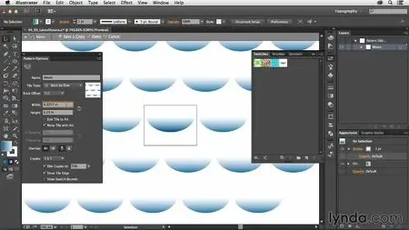
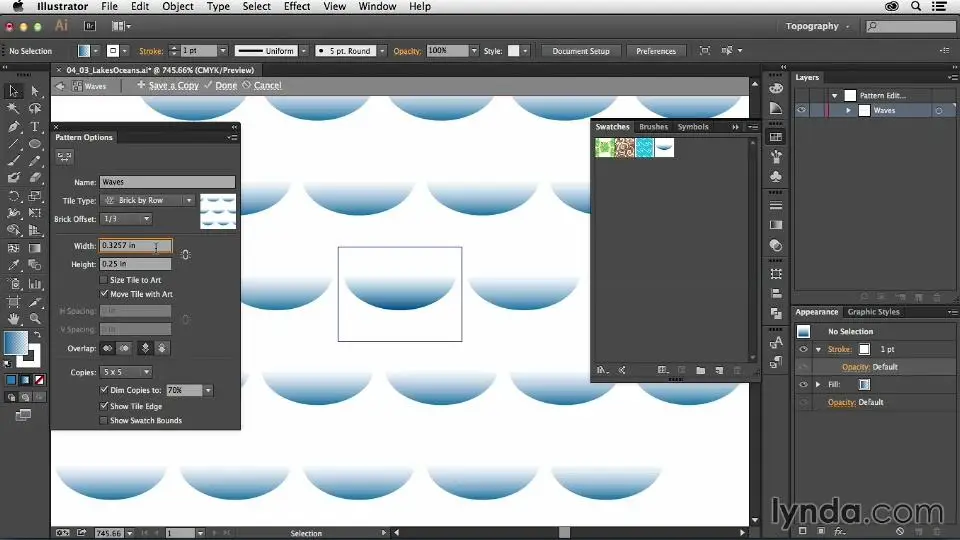
- Drawing bodies of water, parks, and other landmarks
- Labeling roads
- Adding a map legend
- Saving for print
- Sharing a map online
Screenshots:
Creating a Map with Illustrator with William Everhart
Creating a Map with Illustrator with William Everhart
Creating a Map with Illustrator with William Everhart

Creating a Map with Illustrator with William Everhart
