


Complete Remote Sensing Image Analysis with ENVI Software
Complete Remote Sensing Image Analysis with ENVI Software
MP4 | Video: h264, 1280x720 | Audio: AAC, 44.1 KHz
Language: English | Size: 13.4 GB | Duration: 6h 55m
MP4 | Video: h264, 1280x720 | Audio: AAC, 44.1 KHz
Language: English | Size: 13.4 GB | Duration: 6h 55m
Learn basic to advanced remote sensing image processing, spatial analysis, and GIS techniques using ENVI software
What you'll learn
Use ENVI software for a variety of image processing techniques
Understand basic tools in ENVI
Radiometric Calibration
Multiple Atmospheric Correction Techniques
Classification of Images
Downloading Satellite Data
Import and export images
Vegetation Indices
How to apply band ratios and algorithms to your image
Image Registration
Hyperspectral Data Analysis
GDAL and Basemaps
Mosaic images
Anomaly Detection
Pansharpen Satellite Images
Requirements
Have a basic knowledge and understanding of remote sensing principles
Have access to ENVI software
Description
Get this course for only 9.99! Use code SEP21A
Are you currently enrolled in my Fundamentals of Remote Sensing and Geospatial Analysis course and want to take your remote sensing knowledge to the next level?
Are you already familiar with the field of remote sensing and want to learn how to process images?
The next step for you is to gain proficiency in remote sensing data analysis using ENVI software!
Go from zero to hero in remote sensing satellite image processing!
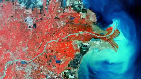
My course provides a complete foundation to carry out practical and real life remote sensing image analysis processes using ENVI software. ENVI is the most widely used remote sensing and image analysis program within Industry and Research. In this course you will be using actual images and data from Landsat 8 and other popular satellites to give you hands on experience in image processing techniques. First we will go over the basic tools in ENVI and learn how to navigate the software. Then we will dive into and learn step by step the fundamental techniques in satellite remote sensing image processing such as:
image mosaicing
radiometric calibration
multiple atmospheric correction techniques (Fast Line of Sight Atmospheric Analysis of Hypercubes and Dark Object Subtraction)
supervised and unsupervised classification
vegetation indies
band ratios
and many more!
Additional satellite images and data will be provided so that you can practice these techniques on your own. I will also provide you with additional resources that you can download and use in your future remote sensing career! We will also go over on how to locate and download FREE remote sensing satellite images!
Once you have learned the basics of ENVI we will go into intermediate and advanced ENVI remote sensing processes such as:
hyperspectral data analysis
image registration
anomaly detection
creating a burn index map
mineral mapping from hyperspectral images
spectral angle mapper
time series analysis
pansharpening and much more!
I hope that you ENROLL NOW and learn the remote sensing software that industry and research positions require! Start your remote sensing career here and learn the basics of remote sensing image analysis using ENVI software!
Who this course is for:
Anyone interested in learning how to process remote sensing satellite imagery in ENVI
Anyone wanting to learn how to use ENVI software