

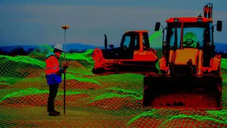
Civil 3D Level 2/4 - For Civil Works And Land Surveying
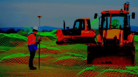
Civil 3D Level 2/4 - For Civil Works And Land Surveying
Last updated 11/2020
MP4 | Video: h264, 1280x720 | Audio: AAC, 44.1 KHz
Language: English | Size: 2.99 GB | Duration: 4h 28m
Last updated 11/2020
MP4 | Video: h264, 1280x720 | Audio: AAC, 44.1 KHz
Language: English | Size: 2.99 GB | Duration: 4h 28m
Learn to create basic linear designs and works with the Autocad Civil3D software applied to Surveying and Civil Works
What you'll learn
Participate in the design of roads and civil and topographic projects.
When conducting a topographic survey in the field, you can import these land points to Civil3D and save a lot of time in drawing.
Create land surfaces in 2 and 3 dimensions and generate calculations such as area, volume and earth movement
Build horizontal and vertical alignments that allow the design of a linear work such as roads, canals, bridges, railways, high voltage lines, among others.
Prepare professional plans to present works both in plan and in profile.
Requirements
A computer with basic requirements of Hard Disk, RAM (minimum 2GB) and Intel Processor, AMD
Autocad Civil 3D software any version
Very basic knowledge of Surveying, Civil or related
Description
Disclaimer:We have selected this course to offer it in English for its high pedagogical quality and user acceptance.The version of the software used is in Spanish, but the whole explanation of the instructor is narrated in English.–––––––––––––––––––- #AulaGEOThis is the second of a set of 4 courses called "Autocad Civil3D for Surveying and Civil Works" that will allow you to learn how to handle this fabulous Autodesk software and apply it to different projects and construction sites. Become an expert in the software and you can generate earthworks, calculate materials and construction prices and create great designs of roads, bridges, sewerage among others.This set of courses has been the product of hours of dedication, work and effort, compiling the most important data on the subject of Civil and Topographic Engineering, summarizing large amounts of theory and making them practical, so that you can learn in an easy and easy way. Fast with short but specific classes for each topic and practice with all the (real) data and examples we provide here.If you want to start managing this software, participating in this course will save you weeks of work by investigating on your own what we have already investigated, doing the tests we have done, and making the mistakes we have already made.Let us introduce you to this world of Autocad Civil3D, which is a powerful tool to reduce large amounts of time designing and calculating and facilitating your work in the professional field.Who is it for?This course is aimed at technicians, technologists and professionals with knowledge in Surveying, civil or related works, who want to start in the world of road design, linear works, earthworks and construction or those who want to strengthen their skills in the management of This powerful tool.BASIC COURSE CONTENT (2/4)1. ASSEMBLIES AND SUB-ASSEMBLIESTypical sectionDefinition of assemblies (structure).Configuration of sub-assemblies (type objects: terrace, lane, sardinel, canal, gutter, bridge, intersection, etc.).2. LINEAR WORK, SURFACES AND MATERIALS:Definition and construction of the linear work.Linear work surfaces and limits.3. CROSS SECTIONS OF SURFACESSampling linesSection views4. CUBICATION AND EARTH MOVEMENT:Cubing and reports.Surface comparisonVolume surfaces
Overview
Section 1: Surfaces edition
Lecture 1 S1 study material
Lecture 2 Surface Edition I
Lecture 3 Surface Edition II
Lecture 4 Surface Analysis I
Lecture 5 Surface Analysis II
Section 2: Assemblies and Subassemblies
Lecture 6 S2 study material
Lecture 7 Creation of assemblies and sub-assemblies
Lecture 8 Creation of assemblies and sub-assemblies II
Section 3: Linear work, surfaces and materials
Lecture 9 Study material S3
Lecture 10 Creation of a linear work I
Lecture 11 Parameters of sub-assemblies and changes in linear work
Lecture 12 Linear work properties and surfaces
Lecture 13 Comparison of Linear Work surfaces
Section 4: Cross sections of surfaces
Lecture 14 S4 study material
Lecture 15 Creation of sampling lines and section view
Lecture 16 Creating multiple section views
Lecture 17 Insert a linear work in section view
Lecture 18 Insert a linear work surface in section view
Lecture 19 Calculate work quantities
Section 5: Grounding and earthworks
Lecture 20 S5 study material
Lecture 21 Break Lines
Lecture 22 Import from Land I
Lecture 23 Import from Land II
Lecture 24 Surface comparison and cubing I
Lecture 25 Surface comparison and cubing II
Lecture 26 Volume surface presentation
This course is built for anyone who wants to learn how to handle the software.,Technicians, Technologists or Professionals in Surveying, Civil or related who want to improve their productivity and skill with the software.,Anyone who wants to learn to make designs of linear works and topography projects.