AutoCAD Map 3D 2021 Essential Training

AutoCAD Map 3D 2021 Essential Training
.MP4, AVC, 1280x720, 30 fps | English, AAC, 2 Ch | 2h 43m | 684 MB
Instructor: Gordon Luckett
.MP4, AVC, 1280x720, 30 fps | English, AAC, 2 Ch | 2h 43m | 684 MB
Instructor: Gordon Luckett
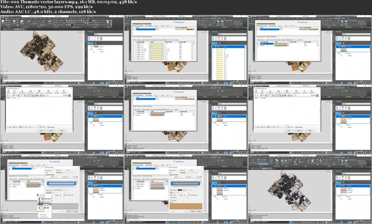
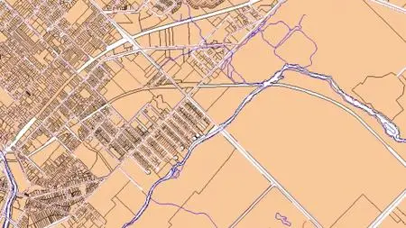
AutoCAD Map 3D enriches your map data, making it more visual and intelligent. With AutoCAD 2021, the Map 3D toolset ships free, bringing an intelligent geographic information system (GIS) to every AutoCAD drawing. Join GIS consultant and trainer Gordon Luckett in this course, where he shows how to use this powerful program to edit data within existing AutoCAD drawings and connect to outside databases for new sources of information. He also shows how to connect to, style, and analyze GIS data, and publish your data and final maps to a web-based map book. All of this and more is possible with AutoCAD Map 3D. Start watching, and learn how to bring the power of geodata to your DWGs.
Topics include:
Creating object data definitions
Modifying object data
Connecting to a database
Using project drawings
Performing queries
Adding images
Styling AutoCAD objects
Importing and exporting GIS data
Connecting to GIS data
Styling, editing, and analyzing GIS data
Merging and splitting GIS data
Using coordinate systems
Publishing map books

AutoCAD Map 3D 2021 Essential Training