

Arcgis Pro - Learn Easy!
Arcgis Pro - Learn Easy!
Last updated 8/2022
MP4 | Video: h264, 1280x720 | Audio: AAC, 44.1 KHz
Language: English | Size: 2.16 GB | Duration: 2h 28m
Last updated 8/2022
MP4 | Video: h264, 1280x720 | Audio: AAC, 44.1 KHz
Language: English | Size: 2.16 GB | Duration: 2h 28m
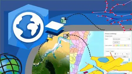
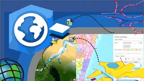
ArcGIS Pro is the new version of ArcMap
What you'll learn
Learn ArcGIS Pro from zero
Create, import data, analyze and generate final maps
Learn doing, through step by step use cases - All in the same environment of data.
Learn doing, through step by step use cases - All in the same environment of data.
Advanced ArcGIS Pro: Imagery, LiDAR data, Geodatabase, Story Maps, Layouts
Requirements
The course is from scratch. So it can be taken by a geo-engineering professional or a design enthusiast.
Description
Course Description: Learn how to use the tools provided by ArcGIS Pro, starting from scratch.This course include, the basic of ArcGIS Pro; data edition, methods to selection of spatial data based in attributes and location and creation of bookmarks. Then, we include digitization of shapefiles, addition and digitizing layers, editing attribute and column attributes.What will the user learn?You will learnt to use symbology within features and labeling of points, lines and polygons. Includes buffer analyisis, import of Excel data and georeference of images. #AulaGEOTo share data you will learn how to share data online and generate final maps.Includes step by step excercises in the AulaGEO environment.This course includes:The basic with ArcGIS ProClase 1: Let´s start with the ArcGIS ProClase 2: Data selectionClase 3: Use bookmarksCreating and editing spatial dataClase 4: Import data from ExcelClase 5: Symbology dataClase 6: Editing of attribute dataClase 7: Labeling featuresClase 8: Digitization of geographic informationClase 9: Georeferencing of imagesAnalysis dataClase 10: Buffer analysisPublishing contents from ArcGIS ProClase 11: Map generationLet´s do it in AulaGEO - step by step excercisesClase 13: Implications of the change from ArcMap to ArcGIS ProClase 14: Exercise 1. Import CAD data to GISClase 15: Exercise 2. Import coordinates from Excel for split a polygonClase 16: Exercise 3. Calculation of areas and composition of calculated fieldsClase 17: Exercise 4. Buffer AnalysisClase 18: Exercise 5. Attribute labelingClase 19: Exercise 6. Thematization by attributesClase 20: Exercise 7. Digitization tricksClase 21: Exercise 8. Gereferencing images
Overview
Section 1: The basic with ArcGIS Pro
Lecture 1 Let´s start with the ArcGIS Pro
Lecture 2 Data selection
Lecture 3 Use bookmarks
Section 2: Creating and editing spatial data
Lecture 4 Import data from Excel
Lecture 5 Symbology data
Lecture 6 Editing of attribute data
Lecture 7 Labeling features
Lecture 8 Digitization of geographic information
Lecture 9 Georeferencing of images
Section 3: Analysis data
Lecture 10 Buffer analysis
Section 4: Publishing contents from ArcGIS Pro
Lecture 11 Map generation
Section 5: Advanced features of ArcGIS Pro
Lecture 12 ArcGIS Pro can do more…
Section 6: Let´s do it in AulaGEO - step by step excercises
Lecture 13 Implications of the change from ArcMap to ArcGIS Pro
Lecture 14 Exercise 1. Import CAD data to GIS
Lecture 15 Exercise 2. Import coordinates from Excel for split a polygon
Lecture 16 Exercise 3. Calculation of areas and composition of calculated fields
Lecture 17 Exercise 4. Buffer Analysis
Lecture 18 Exercise 5. Attribute labeling
Lecture 19 Exercise 6. Thematization by attributes
Lecture 20 Exercise 7. Digitization tricks
Lecture 21 Exercise 8. Gereferencing images
Everyone who wants to improve their profile and expand their opportunities in geospatial design and analysis.,GIS users which have used ArcGIS Desktop versions and want to learn how to do the process with ArcGIS Pro,Enthusiasts and users of Geographic Information Systems