

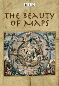
The Beauty of Maps
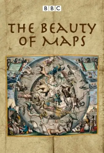
The Beauty of Maps
HDTV | English | 2010 | mkv | H264 1440x810 | AC3 2 ch | 1 hr 56 min | Sub: English | 4.36 GB
History, Documentary
HDTV | English | 2010 | mkv | H264 1440x810 | AC3 2 ch | 1 hr 56 min | Sub: English | 4.36 GB
History, Documentary
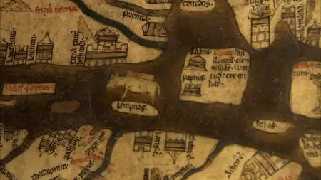
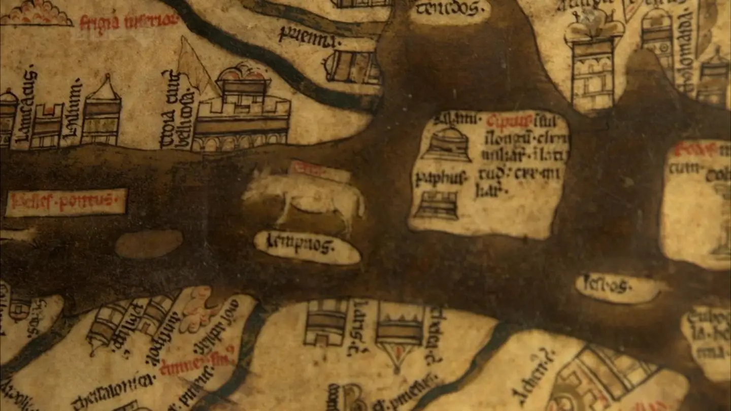
1. Medieval Maps - Mapping the Medieval Mind
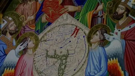
The Hereford Mappa Mundi is the largest intact Medieval wall map in the world and its ambition is breathtaking - to picture all of human knowledge in a single image. The work of a team of artists, the world it portrays is overflowing with life, featuring Classical and Biblical history, contemporary buildings and events, animals and plants from across the globe, and the infamous 'monstrous races' which were believed to inhabit the remotest corners of the Earth.
2. City Maps - Order out of Chaos
The British Library is home to a staggering 4.5 million maps, most of which remain hidden away in its colossal basement, and the programme delves behind the scenes to explore some amazing treasures in more detail. This is the story of three maps, three 'visions' of London over three centuries; visions of beauty that celebrate but also distort the truth. It's the story of how urban maps try to impose order on chaos.
3. Atlas Maps - Thinking Big
The Dutch Golden Age saw map-making reach a fever pitch of creative and commercial ambition. This was the era of the first ever atlases - elaborate, lavish and beautiful. This was the great age of discovery and marked an unprecedented opportunity for mapmakers, who sought to record and categorise the newly acquired knowledge of the world. Rising above the many mapmakers in this period was Gerard Mercator, inventor of the Mercator projection, who changed mapmaking forever when he published his collection of world maps in 1598 and coined the term 'atlas'.
4. Cartoon Maps - Politics and Satire
Graphic artist Fred Rose perfectly captured the public mood in 1880 with his general election maps featuring Gladstone and Disraeli, using the maps to comment upon crucial election issues still familiar to us today. Technology was on the satirist's side, with the advent of high-speed printing allowing for larger runs at lower cost. In 1877, when Rose produced his Serio Comic Map of Europe at War, maps began to take on a new direction and form, reflecting a changing world.
Screenshots:
The Beauty of Maps
The Beauty of Maps
The Beauty of Maps


The Beauty of Maps
