

Maciej Komosinski PrettyMap v5.5
Maciej Komosinski PrettyMap v5.5 | PPC | 4MB
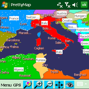
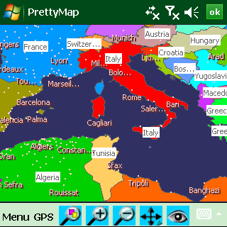
View maps of Earth and other planets with PrettyMap! See day and night areas, learn geography, enjoy 3D elevation surfaces, measure distances and create your own maps with special places!
PrettyMap is a powerful, reliable and fast GIS engine for PDAs and smartphones. The PrettyMap-powered mapping software lets you view vector and raster maps and images (such as country boundaries, cities, rivers, buildings, roads, satellite photos, digital elevation models and topographies), search in geographically-referenced data, visualize and analyze spatial information, download current weather reports and forecasts, display weather maps, extend your knowledge by taking an educational quiz, edit your own simple maps and much more.
Here are some key features of "PrettyMap (Windows Mobile)":
· support for vector maps (points, lines, areas)
· support for raster maps (terrain elevation and bathymetry, images, symbolic)
· handles multi-attribute data associated with vector map objects
· displays maps of various planets
· supports GPS, logging GPS locations, "follow GPS" mode, WiFi wardriving and export to KML/GPX
· GPS fleet tracking service: PrettyMap can regularly report locations so that you know where your fleet is
· displays current weather maps, detailed weather reports and forecasts (requires Internet connection)
· spherical projection
· relief and 3D elevation (DEM) view with vector map overlay
· shows day and night regions, computes shadow length and sun/north orientation
· various color schemes for elevation maps
· user-defined elevation colors
· zoom range from whole planet to meters
· multiple, configurable vector map layers
· data search for vector map databases
· versatile quiz with teacher mode for vector map databases
· bar charts and color-by option for numeric features in vector map databases
· distance measurement
· integrated user-defined locations (Points Of Interest) editor for work in the field
· synchronization of map data (map with map, map with server)
· sessions to quickly save/restore program state
· adjustable water level for elevation data
· numerous settings to customize the program
all maps are free:
· political: country boundaries with country names, capitals, population sizes, …
· major cities with names, status, population ranks and classes, …
· comprehensive set of data for each country, based on the current information from The World Factbook
· USA states with areas, population sizes, males, females, age, marriage, race, and household statistics, …
· major rivers
· elevation data for Earth, Moon, Mars
· satellite photos and images
· lunar mountains, craters and crater chains, seas, lakes, swamps, valleys, …
· and many more!
· converters to and from native PrettyMap data format exist, so that any image or vector map can be used.