

GEOCONTROL V2.0.51 WIN32
GEOCONTROL V2.0.51 WIN32 | 52.2 Mb
The revolutionary concept of GeoControl2 opens up totally new dimensions of creating virtual landscapes. The unique combination of more artistic tools and semi-scientific algorithms makes it possible to create realistic, breathtaking landsapes, based on conceptual layouts or on fantasie. The creative tool "isolines" is completly selfdeveloped and offers the first time the opportunity, to creatively control the form of the landscape. The interventions are none destructive, layerbased and you can allways, also afterwards, readjust, switch off or change an isoline or layer.
The artistic "shape" filters give the landscapes a typical structure, like round hills or ridged mountains. The semi-scientific erosion algorithms turn these outlines into fantastic realistic and so believable landscapes. Beside that flows, rivers or even river networks can be added to the terrain. The algorithm is unique, extrem fast and satisfies even scientific requierements.
But landscapes are not only defined by nature. The human factor also is a very important element. The "vector" tool "simulates" this part of a landscape. You can use it to integrate roads, urban areas or even controled rivers.
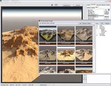
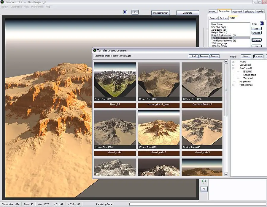
Presetbrowser
GeoControl2 have two new preset-browser: the terrain-preset-browser and the filter-preset-browser
With the preset-browser it is possible to choose the rightly filter- or terrainsetting from over 300 presets. There are not only thumbnails, but also a big preview from the rendered preset and the time for the generation.
It is possible to add new presets. GeoControl2 shows the thumbnails, the big preview and the generation time.
New control elements
The new level control is easier and faster to set. With one mouse move it is possible to change the level strengths and also to activated and deactivated it.
Inactive levels are visible at the first glance.
Semi-scientifical algorithms for highest requirements
The quality of the erosions is improved and three new high quality erosions are added.
With the extended randomness control it is possible to create naturally, meandered erosions on plain terrains.
Scientists are enthused about the new erosion "thin flows sediment", who can simulate the naturally sediments. The high speed and the extreme realistic results will convince you.
Complexes combinations
In nature different erosions have influence to the terrain. The water amount changed with the climatic conditions or seasonal variations. The frost lines move in the course of ten thousand years or there are volcano eruptions.
Controlled erosions
It is very important, that you can controlled the erosions.
The erosions are not only post work erosions in the final terrain, but it is possible to use they in any level (dynamic level generation) and already little changes in a early level have great effects.
Terrains can not only upgrade afterwards, but you can form the terrains with the erosions. That needs excellent control instruments.
Other than control elements, who manage the flows (deepness, width, quantity, slope and randomness), could be use selections to control the erosions.
There are 3 operator modi for the selection control:
1. Standart
The erosions are strictly limited to the selections. The erosions will be calculated within the selection.
2. Placed
Here the selection determines, where the erosions begins. The erosions are not limited by the selection.
3. Weighted
Here the selection determines, where the erosions begins and how strong they are. The erosions are not limited by the selection.
Because GeoControl2 generated the levels dynamic (terrains 2*2 up to the final size), the erosion can also controlled himself in the successional levels.
Inverse erosion
Normally erosions remove material. This material is deposit as sediment down site or is removed with streams or creeks.
Inverse erosions make the opposite: they added material. So it is possible to generated states, how they were, before the terrain was eroded, example ridges and we can also show excellent dunes (basically material accumulation).
Vector tools
What can you do with this tool, for example create a street.
Go to the panel post work -> add the special tool vector -> and click the panel vector.
Now you can work:
• Click on add and mark single points in your terrain where the street must go on. The blue colore sign the withness from the street. You must fix minimum three points.
With edit profile you can control the profile from the street. You can use very smooth or hard settings. Try it.
• You can create streets across mountains and hills or even streets in the valleys or a lane across all, with or without profile, building grounds or water front. Also here the possibillities are nearly endless.
Download
No mirrors please
Welcome to my blog!