

Pythagoras CAD+GIS 12.26
Pythagoras CAD+GIS 12.26 | 197.8 mb
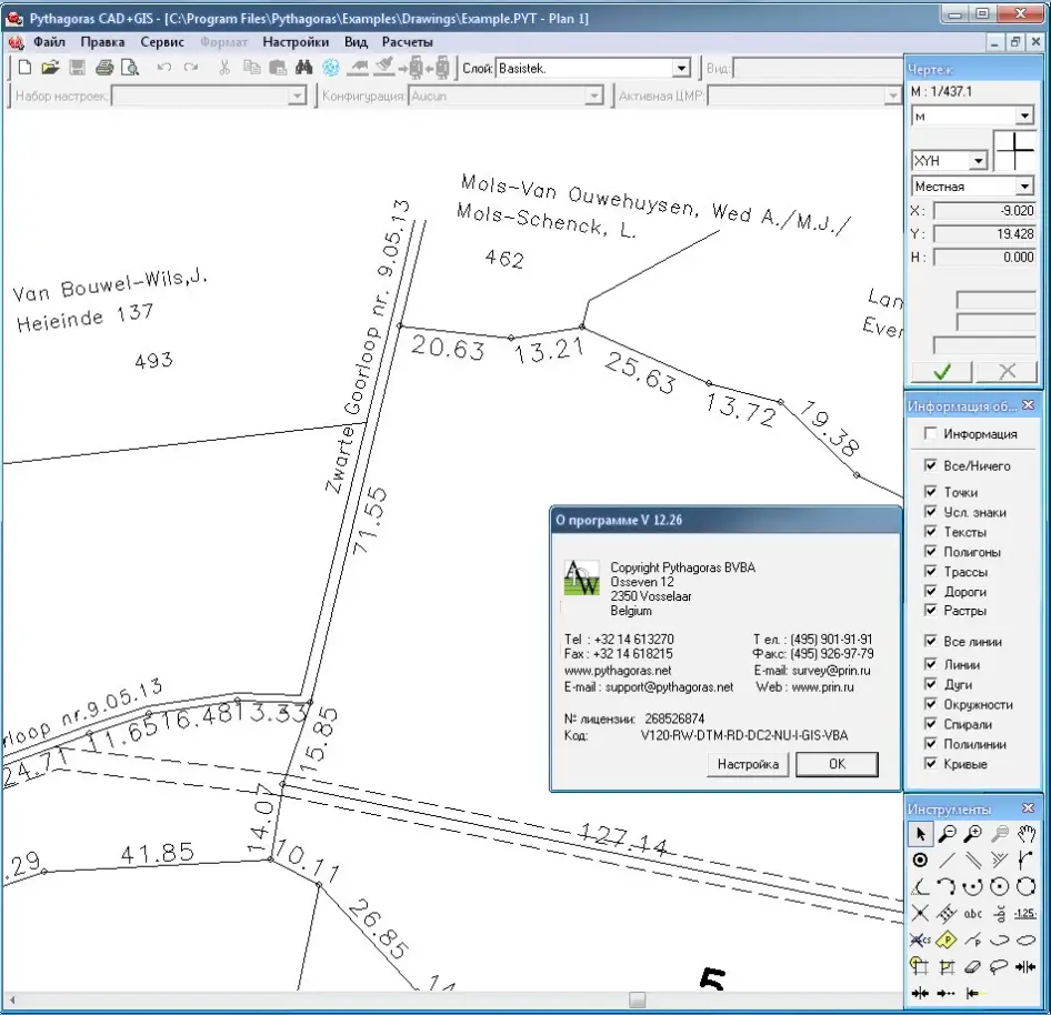
Pythagoras CAD+GIS, developed by Pythagoras BVBA, is a modern CAD-program specially designed for topographical applications (land surveying, road design, city planning), integrating the calculation and drawing functions required for these tasks.
Pythagoras CAD+GIS uses the newest software techniques like, intelligent snapping, indicating geometric relations and context sensitive input fields. These techniques make the program very user friendly and even casual users can reach a high degree of productivity.
About Pythagoras BVBA
Pythagoras is a state-of-the-art CAD and GIS software for land management, road design, civil engineering and land surveying. It is one of the most powerful and intuitive CAD and GIS applications ever designed. Powerful tools allow users to quickly design projects in a userfriendly way. Constant research and development guaranties that Pythagoras meets the requirements of the fast changing CAD and GIS market.
Pythagoras CAD+GIS is available in different modules:
- Pythagoras CAD+GIS base
This basic module contains the Pythagoras CAD engine, drawing tools, COGO functions and many more items.
- Pythagoras CAD+GIS geocoding
While importing the survey data, Pythagoras generates your drawing automatically based on the point codes used in the field.
- Pythagoras CAD+GIS Digital Terrain Model (DTM)
Based on a digital terrain model, Pythagoras generates contour lines, profiles and cross sections, calculates volumes and 3D areas.
- Pythagoras CAD+GIS Road Design
An integrated module in Pythagoras to be used for road constructions and all relevant calculations like cut & fill, profiles and cross sections.
- Pythagoras CAD+GIS Raster Images
Allows the import of raster images and some relevant operations.
- Pythagoras CAD+GIS Pro
This module contains the options GIS and VBA.
Pythagoras CAD+GIS 12.26
visit my blog
Name: Pythagoras CAD+GIS
Version: 12.26
Creator: www.pythagoras.net
Interface: multilanguage
OS: Windows XP / Vista / Seven
Size: 197.8 mb
No mirrors please