


Global (Energy) Mapper 14.0.(2)3
Global (Energy) Mapper 14.0.(2)3 | 334.0 mb
Global Mapper is the ultimate geospatial data conversion solution, supporting over 200 file formats in a viewer centric, user friendly interface. Leverage the power of geometry and attribute editing and creation tools, with a low price of entry and you have the most affordable spatial analysis tool available today.
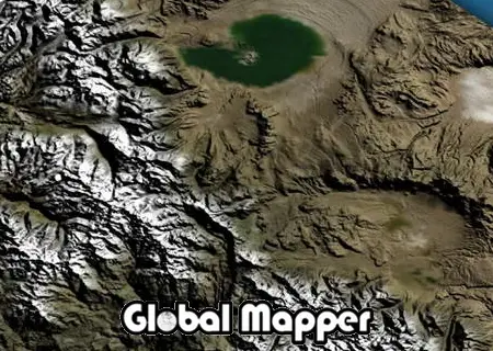
Global Mapper
Global Mapper is more than just a utility; it has built in functionality for distance and area calculations, raster blending, feathering, spectral analysis, elevation querying, line of sight calculations, cut-and-fill volume calculations, as well as advanced capabilities like image rectification, contour generation from surface data, view shed analysis, watershed delineation, terrain layer comparison, and triangulation and gridding of 3D point data.
- Unmatched spatial data format support
- Low cost and easy-to-use
- Just the right level of GIS functionality
- Unmatched and complimentary support
Global Mapper is an affordable and easy-to-use GIS Data processing application that offers access to an unparalleled variety of spatial datasets and provides just the right level of GIS functionality to satisfy both experienced GIS professionals and mapping novices. Equally well suited as a standalone spatial data management tool and as an integral component of an enterprise-wide GIS, Global Mapper is a must-have for anyone who deals with maps or spatial data….
Global Energy Mapper
Blue Marble Geographics and Spatial Energy have teamed to offer this exclusive energy-focused version of Global Mapper. With energy specific symbols, data sets and layer options available for direct access from Global Mapper, users are able to access Energy Partner Program and Spatial on Demand imagery seamlessly to their Global Energy Mapper desktop application with the tools, terminology and symbols you demand for your energy-based projects.
Global Energy Mapper is more than just a viewer capable of displaying the most popular raster, elevation, and vector datasets. It converts, edits, prints, tracks GPS, and allows you to utilize GIS functionality on your datasets in one low cost and easy to use software package.
About Blue Marble Geographics
Blue Marble Geographics of Gardiner, ME is a leading developer and provider of software products and services for highly accurate geospatial data conversion solutions. Blue Marble is known for their coordinate conversion and file format expertise and is the developer of The Geographic Calculator, GeoCalc SDK, Global Mapper and Global Mapper SDK. The company has been writing GIS software tools and solutions for over 19 years and currently serves hundreds of thousands of users worldwide.
visit my blog
Name: Global (Energy) Mapper
Version: 14.0.(2)3 build 102512 (100512)
Home: www.bluemarblegeo.com
Interface: english, russian
OS: Windows XP / Vista / Seven
Size: 334.0 mb
No mirrors please