

Global Mapper 17.2.2 Build 070216 (x86/x64)
Global Mapper 17.2.2 Build 070216 (x86/x64) | 111.3/121.7 MB
Global Mapper is an affordable and easy-to-use GIS application that offers access to an unparalleled variety of spatial datasets and provides just the right level of functionality to satisfy both experienced GIS professionals and beginning users. Equally well suited as a standalone spatial data management tool and as an integral component of an enterprise-wide GIS, Global Mapper is a must-have for anyone who deals with maps or spatial data.
• Low-cost and easy-to-use GIS solution
• Supports over 250 spatial data formats
• Optional LiDAR Module for advanced processing
• Leverage the power of GeoCalc's library with the new tool bar
• Now includes all features previously found in Global Energy Mapper®
• Unmatched and complimentary technical support
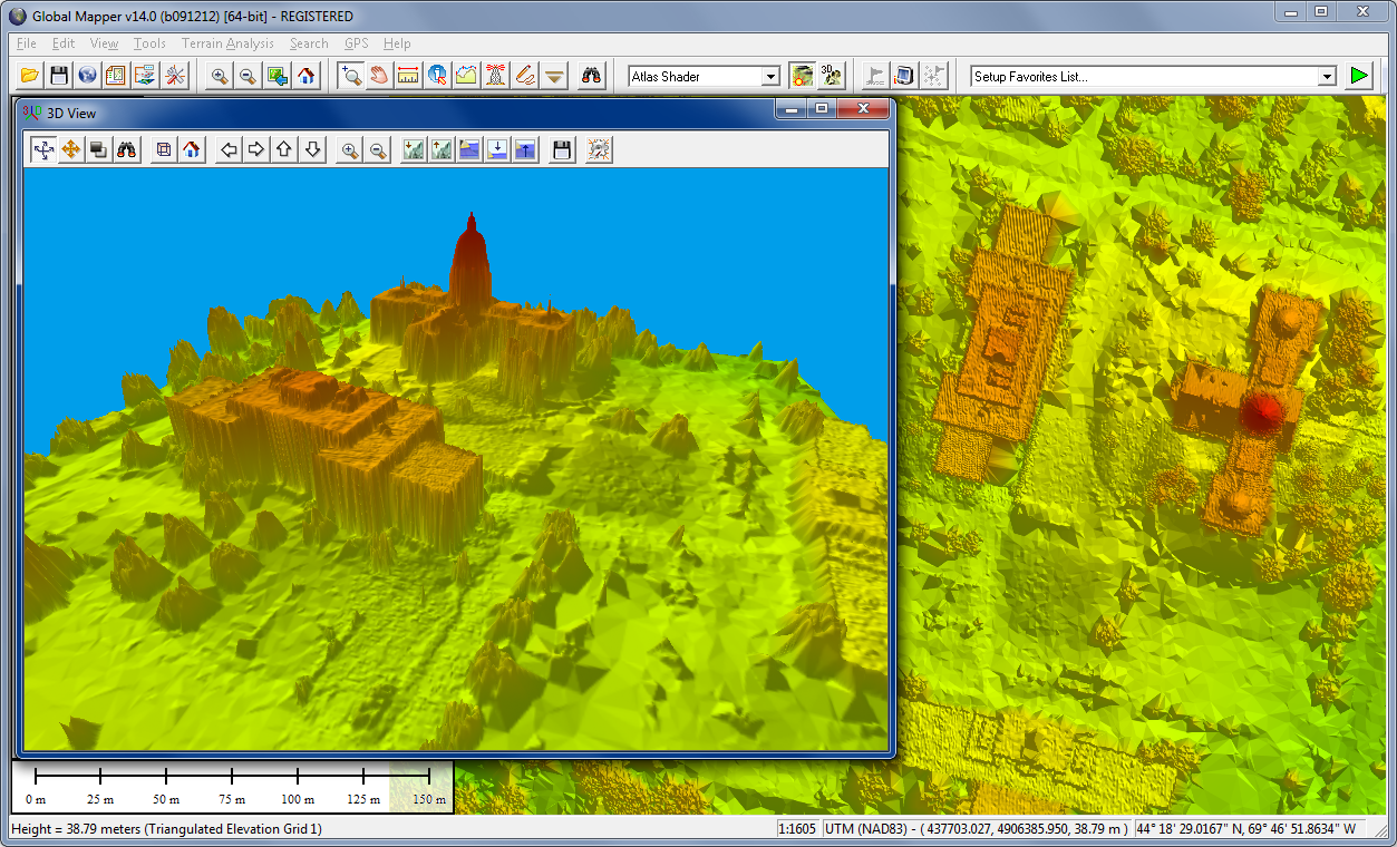
Global Mapper is more than just a utility; it has built in functionality for distance and area calculations, raster blending, feathering, spectral analysis, elevation querying, line of sight calculations, cut-and-fill volume calculations, as well as advanced capabilities like image rectification, contour generation from surface data, view shed analysis, watershed delineation, sea level rise modeling, terrain layer comparison, and triangulation and gridding of 3D point data.
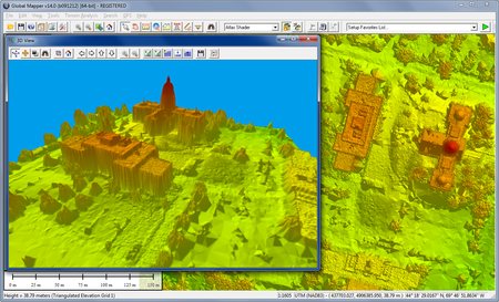
Global Mapper 17 features numerous new and improved geospatial tools, functional upgrades, and performance improvements throughout all areas of the application. Significant new functionality includes a multi-view map interface allowing the simultaneous viewing and docking of several map widows as well as a completely redesigned map layout function for creating high-quality printed maps.
OS : Windows Vista (64-bit version), Windows 7/8/10 (64-bit version), and Windows Server 2003/2008/2012
Language : English
Home Page - http://www.bluemarblegeo.com/