

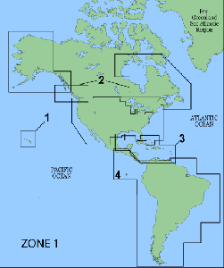
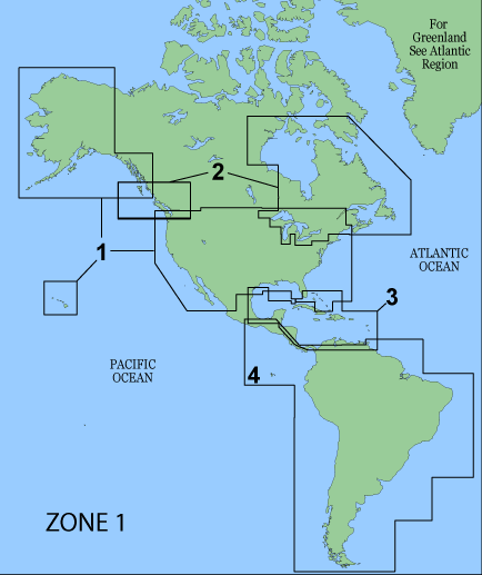
Garmin BlueChart Americas v9.5
Garmin BlueChart Americas v9.5 | 410 Mb
Version 9.5 features include:
* New! Now with Bathymetric coverage for the West Coast of the United States
* New! Inland river expansion to cover the Allegheny River
* Updated marine services
* New editions and notices to mariner changes
* Includes Canadian port services; Inland River detail card
* Includes Wavey line data for the Turks and Caicos Islands in addition to data from Explorer Charts for the Bahamas
* Bathymetric data for East Coast and Gulf of Mexico
* Port services including marina names, addresses, telephone, and types of services provided
* Chart-specific information, including chart name, number, scale, revision date, latest Notice to Mariners date
* Trip and waypoint management function lets you transfer waypoints, routes and tracks between your GPS and your PC
* Faithful representation of published official paper charts
* Object-oriented cartography
* Shaded depth contours
* Intertidal zones
* Spot soundings
* Port plans
* Navaids with view range and coverage
* Tides, wrecks, restricted areas and anchorages
http://rapidshare.com/files/66887519/BlueChart_Americas_v9.5.part1.rar
http://rapidshare.com/files/66888725/BlueChart_Americas_v9.5.part2.rar
http://rapidshare.com/files/66895377/BlueChart_Americas_v9.5.part3.rar
http://rapidshare.com/files/66896422/BlueChart_Americas_v9.5.part4.rar
http://rapidshare.com/files/66896575/BlueChart_Americas_v9.5.part5.rar
SN inside