

Garmin TopoActive Europe 2022.10

Garmin TopoActive Europe 2022.10 | 12.49 GB
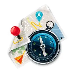
Orienteer and reference any outdoor or recreational activity in European countries with this map, compiled using the community-generated OpenStreetMap (OSM) database.
Includes routable street and off-road networks, international boundaries, waterways, natural features, land use areas, historical sites, airport structures, buildings and more¹
Displays thousands of points of interest, including shops; restaurants and bars; car parks; schools and universities and accommodations
Plan outdoor activities, organize your data and share your adventures with others through our free downloadable trip-planning software, BaseCamp™
Coverage
Features of topographic coverage for 47 European countries: Albania, Andorra, Austria, Belarus, Belgium, Bosnia and Herzegovina, Bulgaria, Croatia, Cyprus, Czech Republic, Denmark, Estonia, Finland, France, Germany, Greece, Hungary, Iceland, Ireland, Italy, Kosovo, Latvia, Liechtenstein, Lithuania, Luxembourg, Macedonia, Malta, Moldova, Monaco, Montenegro, Netherlands, Norway, Poland, Portugal, Romania, Russia (Kaliningrad only), San Marino, Serbia, Slovakia, Slovenia, Spain, Sweden, Switzerland, Turkey, Ukraine, Great Britain and the Vatican.
Additional information
The map is merged with Fenix 6Pro and consists of the following files:
gmapbmap.img - updated
basemap gmapdem.img - non-displayable map, used to draw terrain on the main map
gmapprom.img - Central Europe
gmapprom1.img - Eastern Europe
gmapprom2.img - Western Europe
gmaprda.img - RDA ("Road Drawing Accelerator" ) - non-displayable map, used to speed up the drawing of roads on devices that support this functionality (for example, on Fenix watches)
System Requirements : Garmin devices with Unicode support (since 2013).
Release date : 12.2022
Version : 2022.10
FID : 9685
Developer : Garmin Developer
More info