


Aquaveo Groundwater Modeling System (GMS) 10.6.3 with Tutorials
Aquaveo Groundwater Modeling System (GMS) 10.6.3 with Tutorials | 2.6 Gb
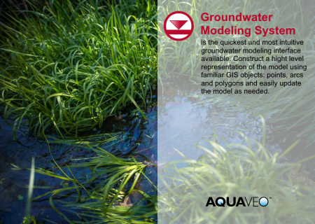
Aquaveo, a water resources consulting company, is pleased to announce availability Groundwater Modeling System (GMS) 10.6.3 is the most advanced software system available for performing groundwater simulations in a three-dimensional environment.
GMS 10.6 Bugfixes - March 13, 2022
2D Grid
13523 Shapefiles exported from a 2D Grid Dataset Do Not Contain Elevation Data
Mesh
13515 TS_GREEN_BUILD_RETURN on tests that are hanging
MODFLOW
13504 GNC Package Only Works in MODFLOW USG with <100k Ghost Nodes
13587 Dialog Sizing Not Consistent
13588 Checkboxes not saved when copying from a spreadsheet
13557 Output for GMG Solver Appears to Not Contain DUP, DLOW and CHGLIMIT Information
13599 Zone Budget Cells Tab Shows the Same Data for All Time Steps
MODFLOW 6
13550 Save MODFLOW 6 copy DISV has too many verts
Online Maps
13424 Several online data sources not working
Raster
13383 Display atts for raster not propagated as it should be
Other
Various minor improvements.
Aquaveo Groundwater Modeling System (GMS) 10.6.3 with Tutorials
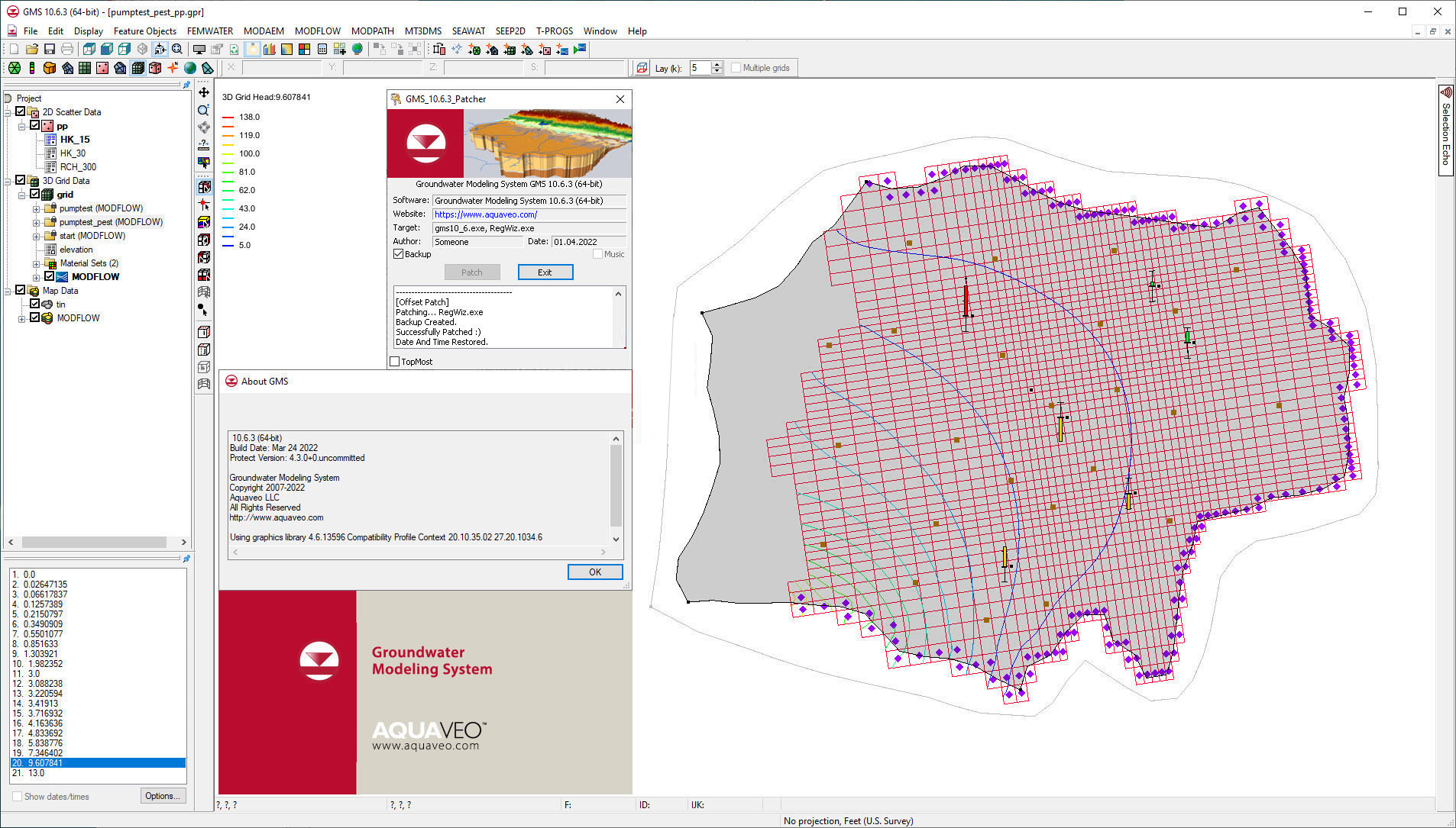
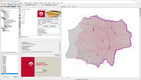
The Groundwater Modeling System (GMS) is a comprehensive graphical user environment for performing groundwater simulations. The entire GMS system consists of a graphical user interface (the GMS program) and a number of analysis codes (MODFLOW, MT3DMS, etc.).
GMS was designed as a comprehensive modeling environment. Several types of models are supported and facilities are provided to share information between different models and data types. Tools are provided for site characterization, model conceptualization, mesh and grid generation, geostatistics, and post-processing.
GMS
Instructional videos for the Groundwater Modeling System (GMS) program developed by Aquaveo.
Aquaveo is a pioneer of GIS-based software solutions for hydraulic, hydrologic and groundwater modeling. Our products have been refined over two decades to create the most advanced environmental modeling and visualization software available. In addition to interfacing with industry standard numerical models, we develop custom desktop and cloud-based applications tailored to specific needs.
Aquaveo began as a part of the Engineering Computer Graphics Laboratory at Brigham Young University in 1985. The lab was reorganized and the name was changed in September, 1998 to the Environmental Modeling Research Laboratory (EMRL). In April, 2007, the main software development team at EMRL entered private enterprise as Aquaveo, LLC.
Product: Aquaveo Groundwater Modeling System (GMS)
Version: Premium 10.6.3 with Tutorials
Supported Architectures: x64
Website Home Page : www.aquaveo.com
Languages Supported: english
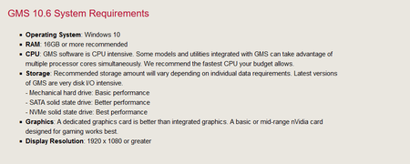
System Requirements: Windows *
Size: 2.6 Gb
Aquaveo Groundwater Modeling System (GMS) 10.6.3 with Tutorials

Please visit my blog
Added by 3% of the overall size of the archive of information for the restoration
No mirrors please

![Aquaveo Groundwater Modeling System (GMS) 10.6.3 with Tutorials]()
Added by 3% of the overall size of the archive of information for the restoration
No mirrors please
Aquaveo Groundwater Modeling System (GMS) 10.6.3 with Tutorials
