

National Geographic World Political Map
National Geographic World Political Map
1 JPG | High resolution | 6000 x 4190 pixels | 8 MB
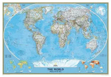
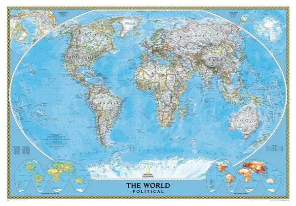
Enjoy the accuracy and beauty of the latest world map from the cartographers at National Geographic. This map features the Winkel Tripel projection to reduce distortion of land masses as they near the poles. Features include subtle border coloring on land, and prevailing winds and ocean currents at sea. Separate insets show the North and South Polar Regions, world vegetation and land use, and world population density.
Download
National Geographic World Political Map
PLEASE NO MIRRORS!
Check My Other Uploads - HERE